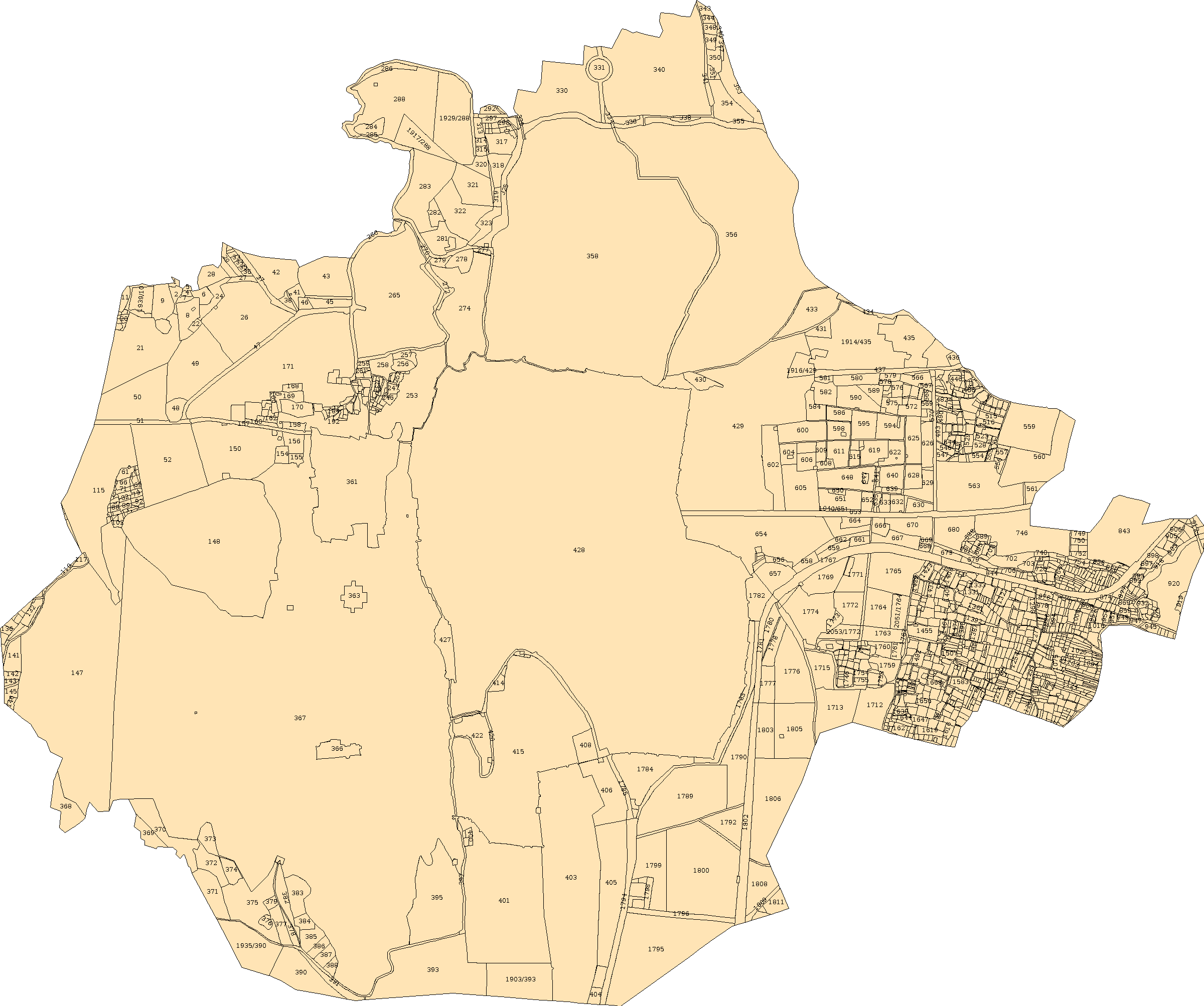
What to look for
When it helps
- Match a site to its parcel number
- Discuss the boundary with a surveyor
- Read neighbouring parcel references
A mapped outline is not an on-site demarcation. ekNaksha’s satellite placement still needs survey control-point confirmation. View source ↗
Your path to the document
- 1
Choose a parcel on the ekNaksha Udaipur map, or select a Khasra below.
- 2
Check the district, tehsil, village, sheet and Khasra together.
- 3
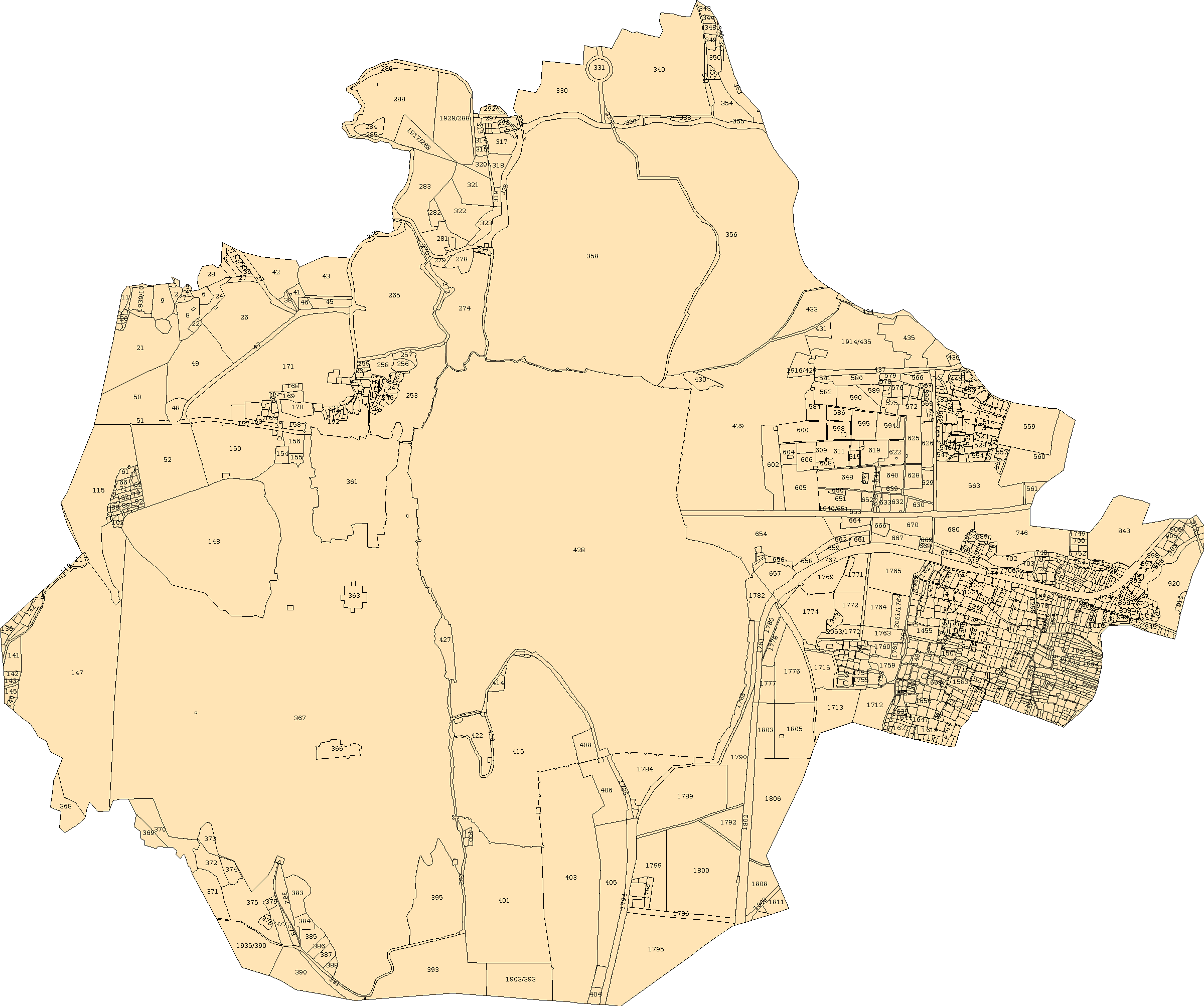
Download the available Shehar Sheet 001, or open BhuNaksha for the source view.
- 4
Save the parcel to a property file and record any survey questions.
A few useful answers
Does Google Maps provide this legal boundary?+
No. ekNaksha’s parcel shapes are derived from BhuNaksha selection masks. Google supplies the satellite background.
Can I download the map here?+
Yes. The available download is Shehar Sheet 001 as an image. It is a source sheet, not a certified survey or a newly issued government copy.
What if a boundary looks misplaced?+
Keep the parcel reference and arrange a survey check. Visual alignment of an overlay does not establish the ground boundary.