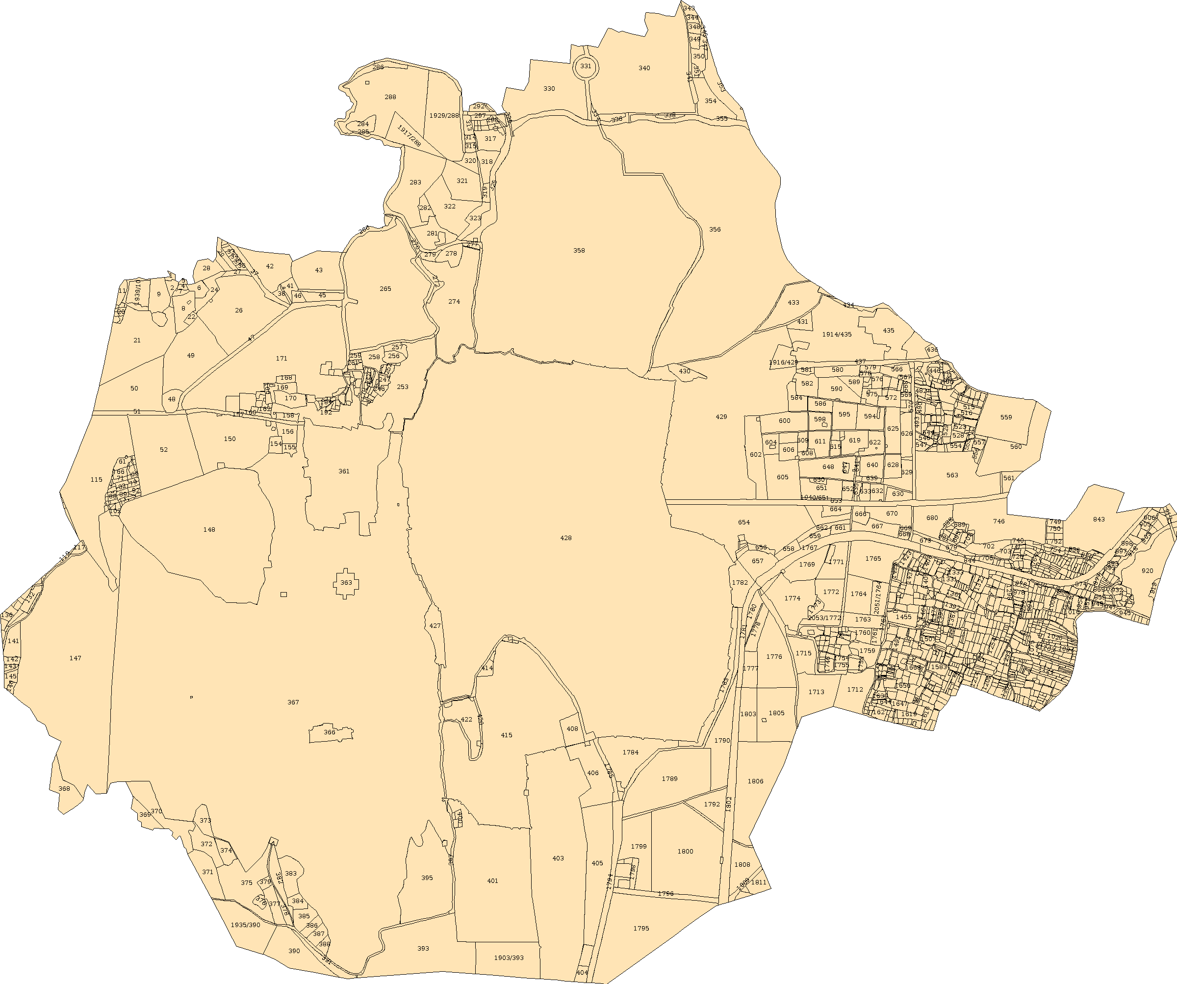
What to look for
Village and administrative references
Sheet coverage
Neighbouring parcel layout
Mapped features shown in the source
When it helps
- Orient yourself before a site visit
- Locate neighbouring parcel groups
- Check which sheet you need
ekNaksha currently provides Shehar Sheet 001. It is not a complete village-map export, and mapped access does not establish a legal right of way. View source ↗
Your path to the document
- 1
Start with the village and sheet associated with your parcel.
- 2
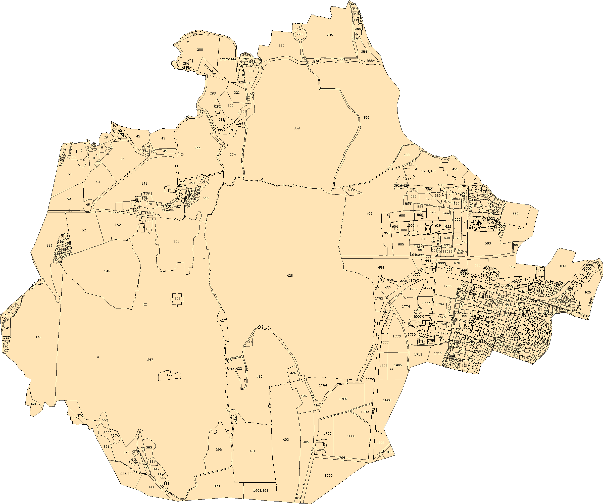
Explore the cadastral sheet at a wider zoom to see the surrounding plots.
- 3
Check the official source for additional sheets or a complete village map.
- 4
Keep the relevant sheet reference with your site-visit notes.
A few useful answers
Is the preview a different map from BhuNaksha?+
It uses the same available Shehar cadastral sheet at a wider scale. The guide explains how to use that sheet for area context.
Can I use it to confirm road access?+
Use it to prepare questions, then check access on site and in the relevant records. A map alone cannot confirm access rights.